
The island explained
What is a levada?
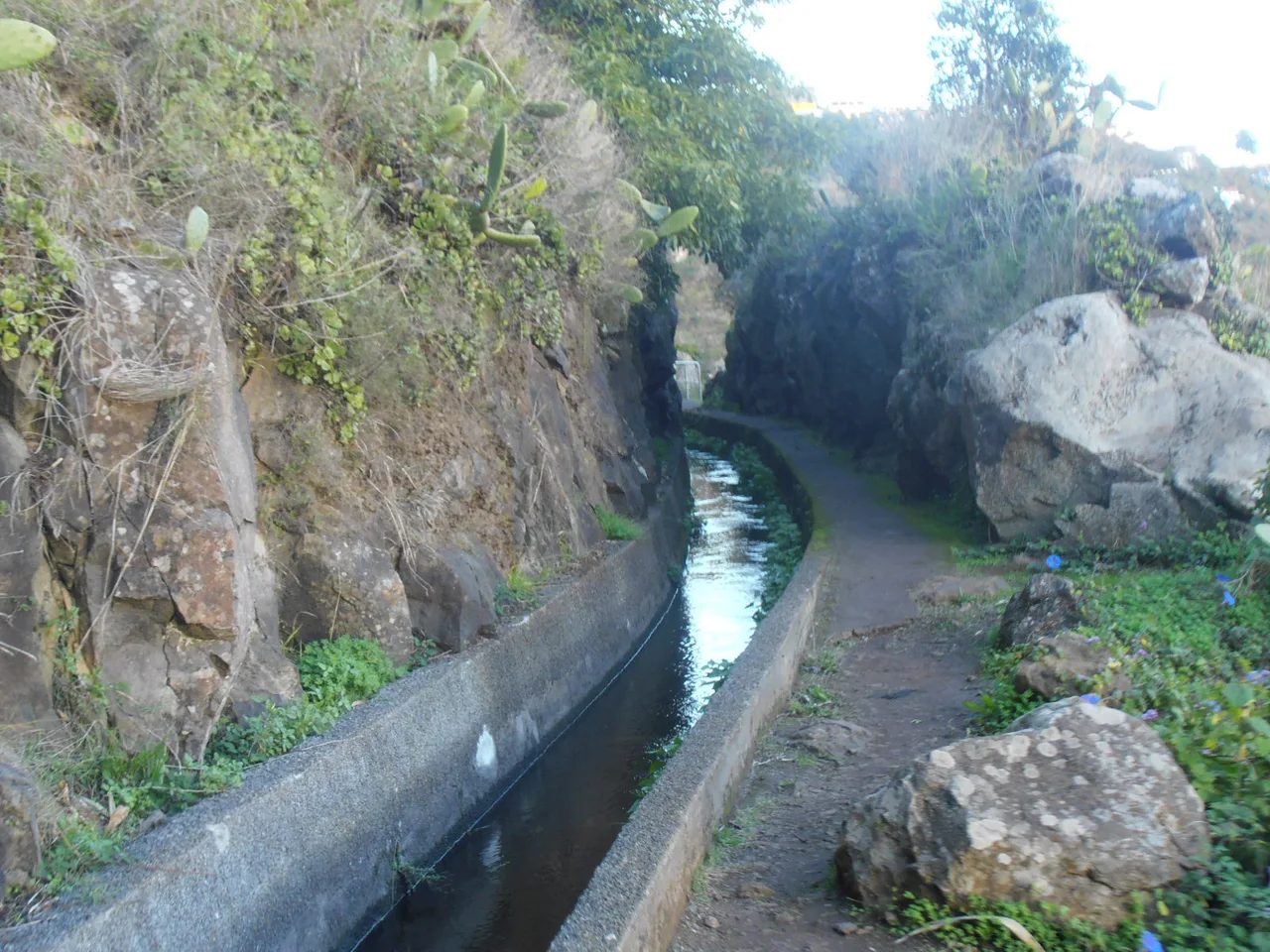
A levada is a narrow irrigation channel, cut by hand into the side of a mountain, that carries water from where it falls to where it is needed. Madeira has been building them since the first settlers arrived, and most of them are walked on a maintenance path running alongside. That path is the reason this island is a hiking island: you are not on a trail somebody designed for walkers, you are on a service road for water that happens to be almost flat and to go somewhere spectacular.
Every guide tells you what a levada is. None of them tells you which one is worth walking on the specific morning you are standing there.
Why an island this wet needed to move water at all
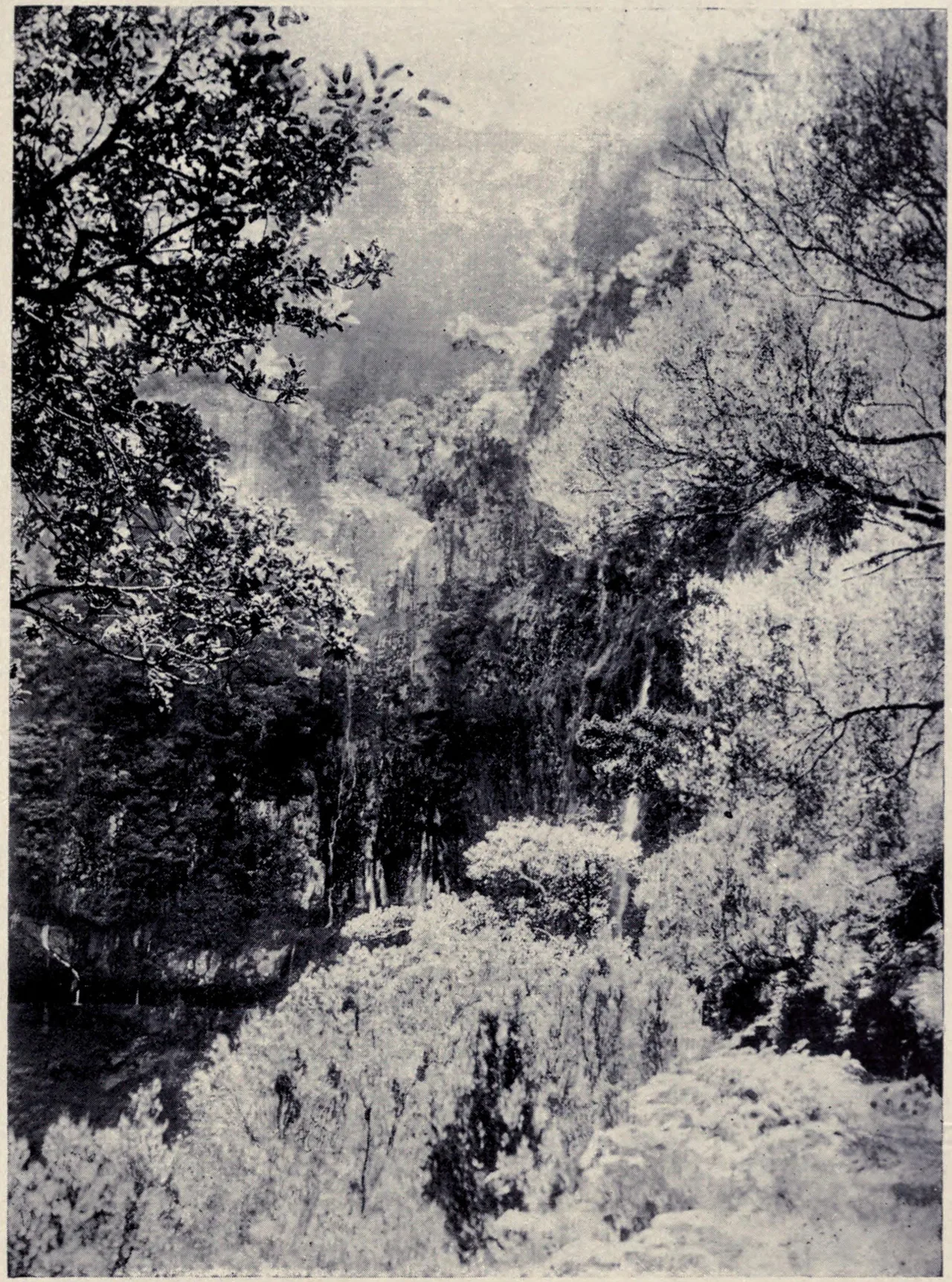
Madeira is 742 square kilometres of very steep volcano, 55 km from end to end. Rain falls generously on the north and on the high ground. People, ports and farmland were in the south, which is dry. The water was never scarce; it was in the wrong place, and there was a mountain range in between.
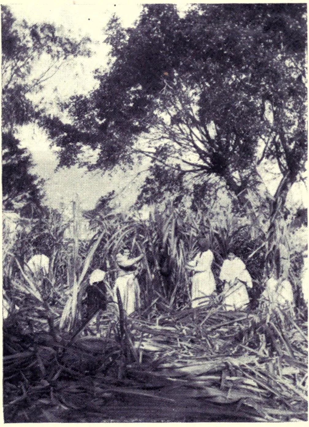
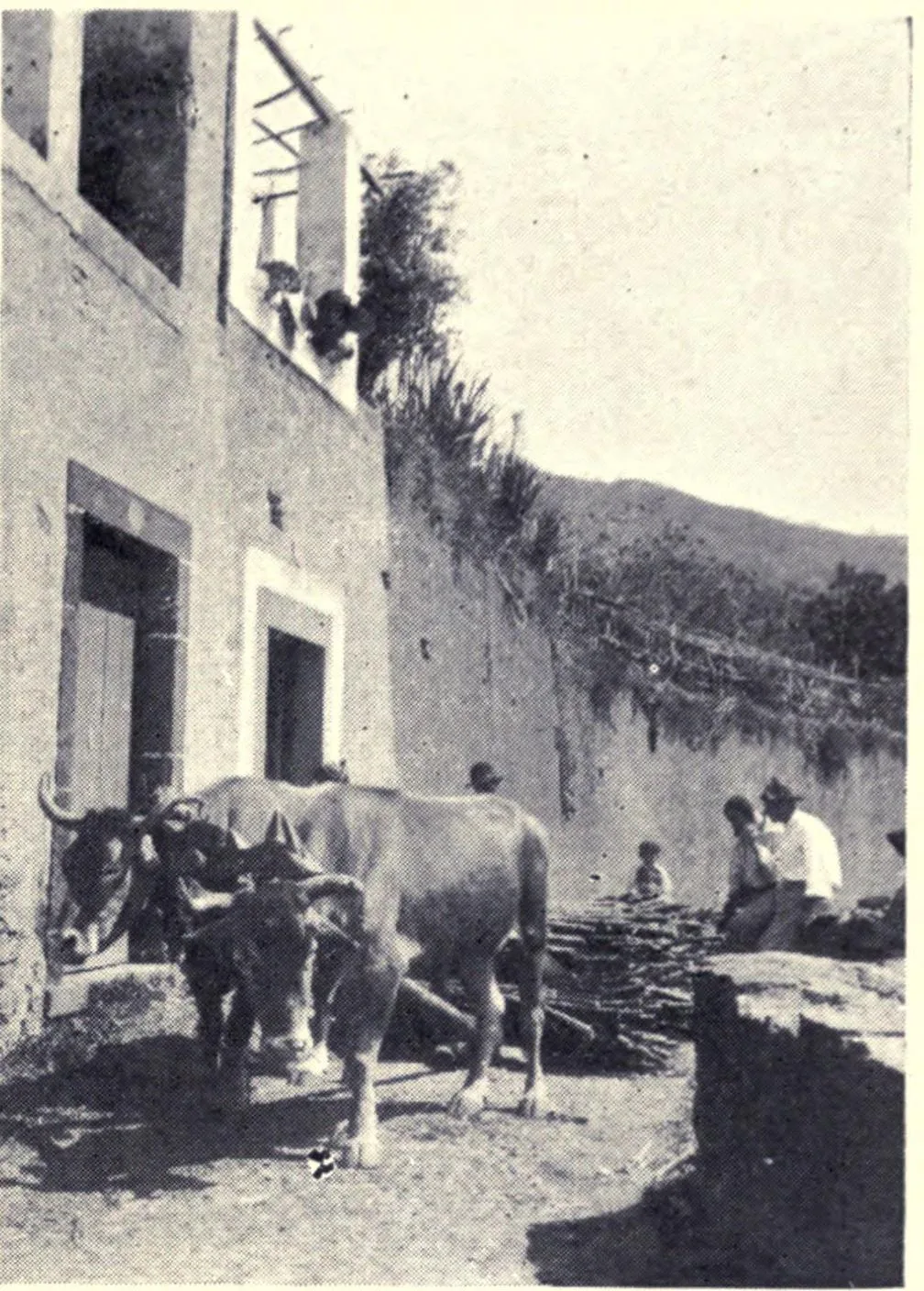
What made solving that worth the effort was sugar. Cane was the island's first high-value crop, and it drinks. By the second half of the 15th century Madeira was one of the largest sugar producers and exporters in Europe, and the thing that made that possible was water arriving at the fields. Later the same channels served vines, and today they serve bananas.
Who cut them, and how
For the first four centuries after the island was settled, nobody official built a levada. They were private undertakings, paid for by whoever owned the spring or the land that needed watering, often by farmers grouped into an association of heréus: co-owners who each hold a share of the water, pay for the upkeep, and elect a committee to run it. That arrangement is still alive.
The early channels were dug straight into volcanic tuff. Where the rock was too hard to cut, the builders bridged the gap with wooden gutters made from til and barbusano, two laurel-forest trees. Later levadas were built in basalt masonry, usually under a metre wide and fifty to seventy centimetres deep, narrow on purpose so the water does not evaporate on the way. Modern ones are concrete and carry more, but the cross-section stayed small for the same reason.
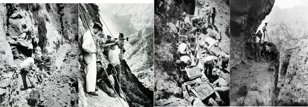
And where the mountain would not go around, through it
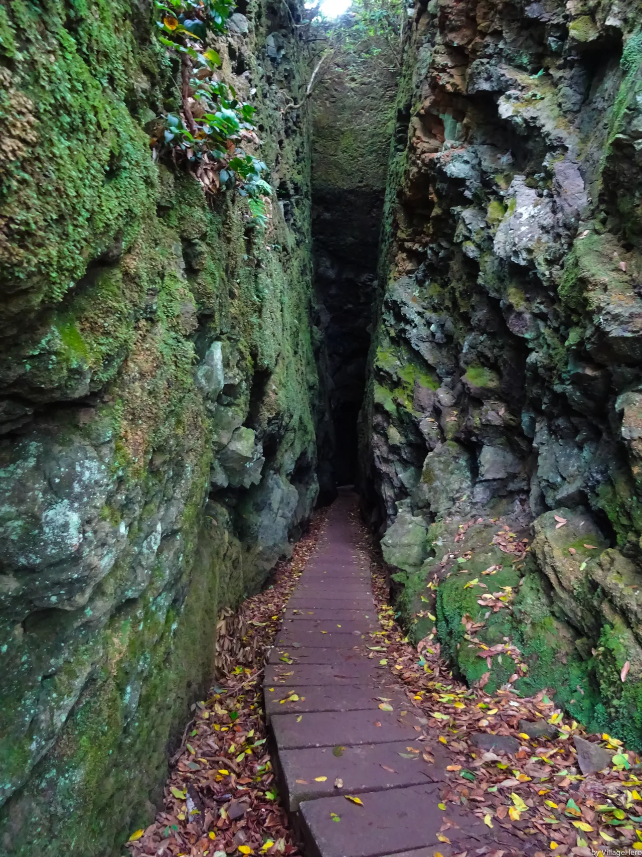
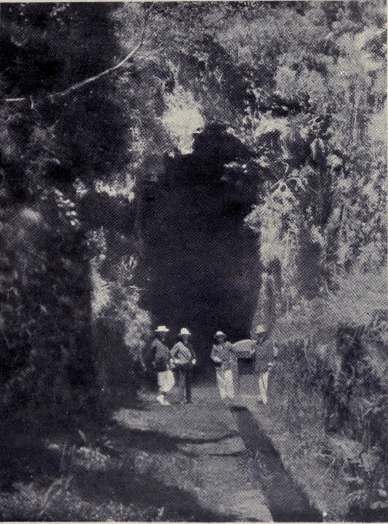
Roughly 80 km of the network runs inside tunnels. Some are wide and short. Some are low, wet, unlit and long enough that you lose sight of both ends, and you walk them with a torch, in single file, with a hand on the wall. They are not a novelty added for tourists: they are there because the alternative was a longer channel or no channel at all.
Water as property, not as plumbing
A levada does not belong to everyone the way a road does. Its water is owned in shares, and those shares are measured in time: so many minutes of the flow, on such a day, diverted to your terraces. A levadeiro walks the channel and opens and closes the gates that make that happen. Getting a share wrong is not an inconvenience, it is somebody's crop.
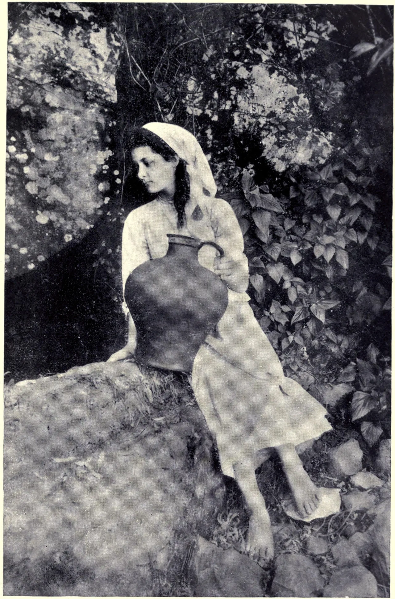
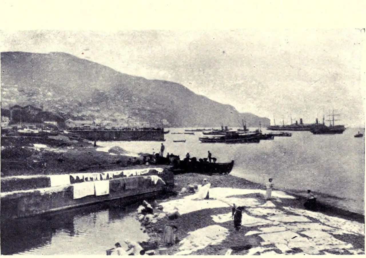
Until the early 20th century there was no piped water in rural homes. People washed clothes in the streams and in the levadas themselves, and carried drinking water home by hand. The channel was not scenery. It was the tap, the laundry and the irrigation system at once, which is why the paths beside them go everywhere people lived.
They also turned the wheels
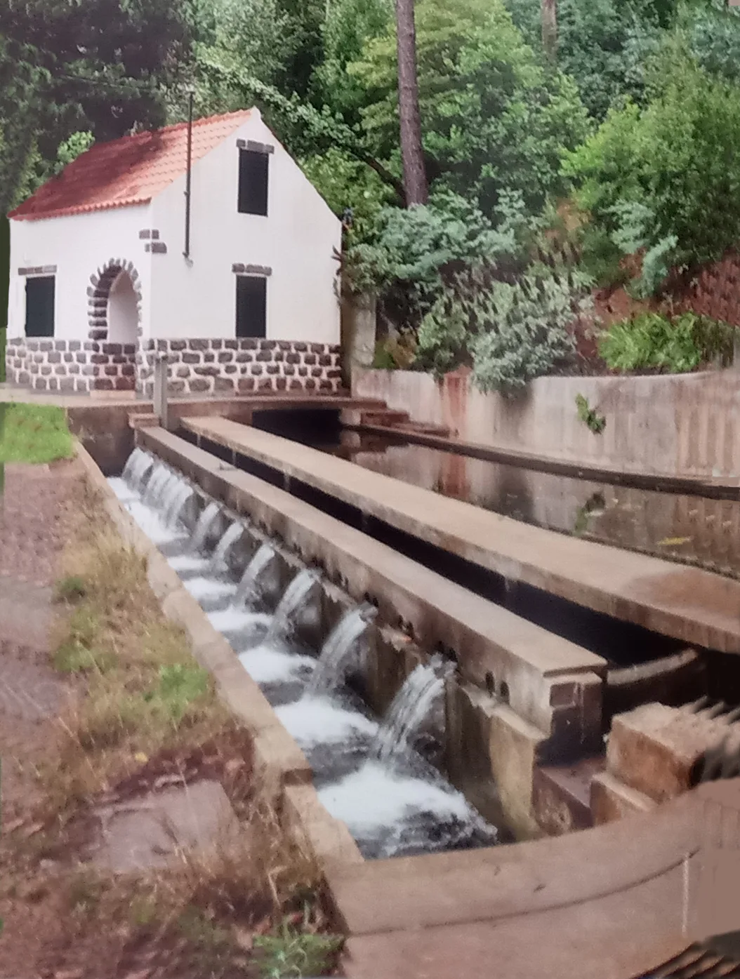
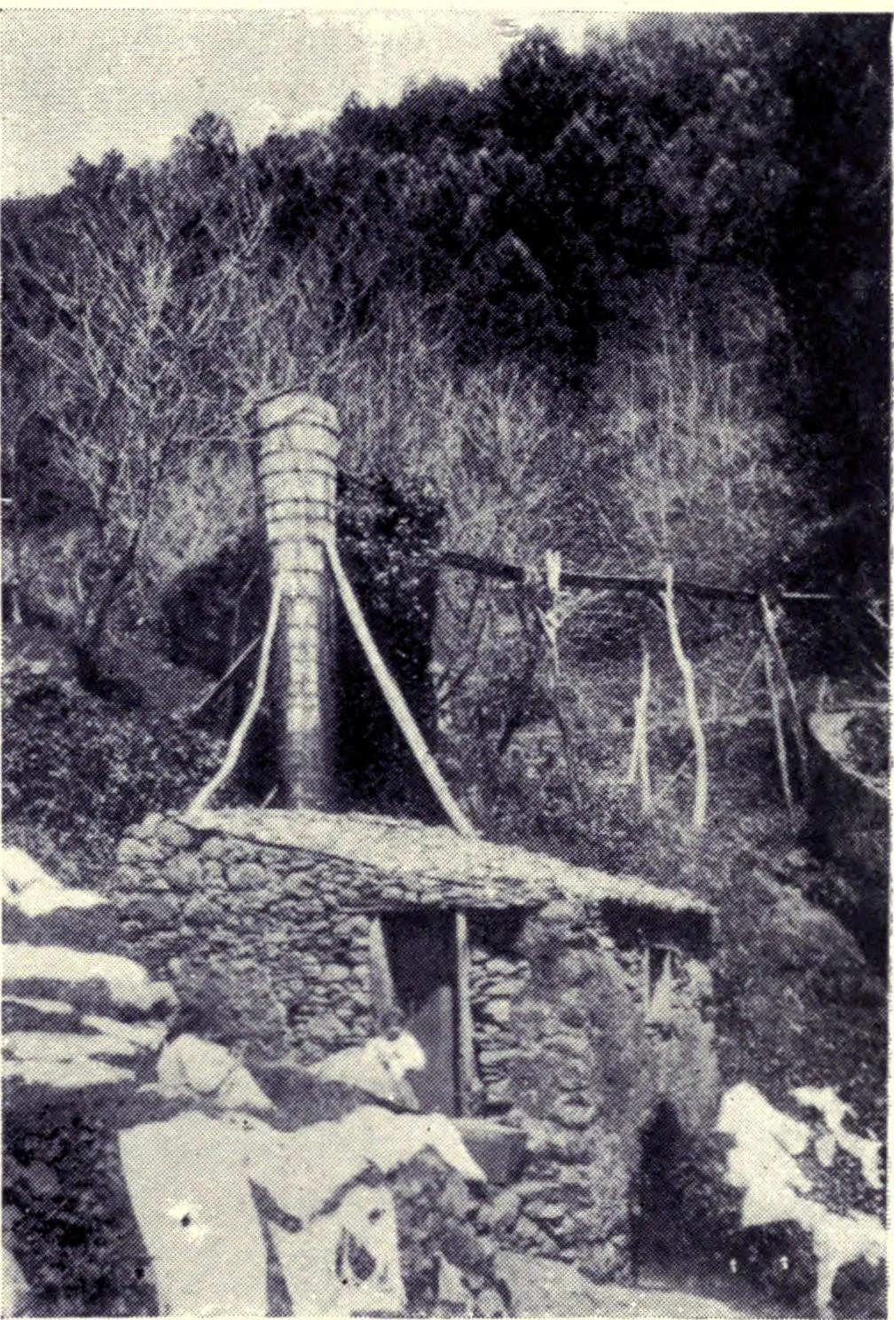
Because the water arrives with a drop behind it, many levadas were tapped along the way to drive mills. Flour mills and sawmills were built directly on the channel, taking their power from water that then carried on to the fields. Nothing was spent: the same flow did two jobs before it was used a third time.
When the state took over, and the network doubled
In the 19th century a crisis in wine production made private financing impossible, and the state started paying. The first publicly funded channel was the Levada Velha do Rabaçal: work began in 1835 and finished in 1860. Twenty-five years for one levada is a fair measure of what this cost.
The decisive push came in 1947, when a commission under the engineer Manuel Rafael Amaro da Costa set out to carry the north's wasted water to the dry south and generate electricity with it on the way down. Most usable water sat above 1000 m; the farmland started at 600 m. Sending the flow through turbines on a drop of about 400 m before releasing it for irrigation meant the same water was paid for twice. By 1967 that plan had built 400 km of new levadas and four power stations, irrigating almost every arable hectare on the island.
How long are the levadas? Three answers, and they are all correct
You will see 3,100 km, 800 km and 2,170 km quoted, and the numbers are not in competition: they measure different things. Portugal's own UNESCO nomination puts the whole network at about 3,100 km once the secondary irrigation channels are counted, and about 800 km if you count only the primary public and private waterways, which is what the heritage listing actually covers. A figure quoted without saying which of those it is tells you nothing. On this page, 800 and 3,100 are the official ones.
What walking one is actually like
A levada follows the contour, so it barely climbs. That single fact reorders everything you assume about difficulty: an 11 km levada can be gentler than a 4 km summit path, and people who would never call themselves hikers walk them comfortably. Length is a poor guide to effort here, and the profile is a much better one.
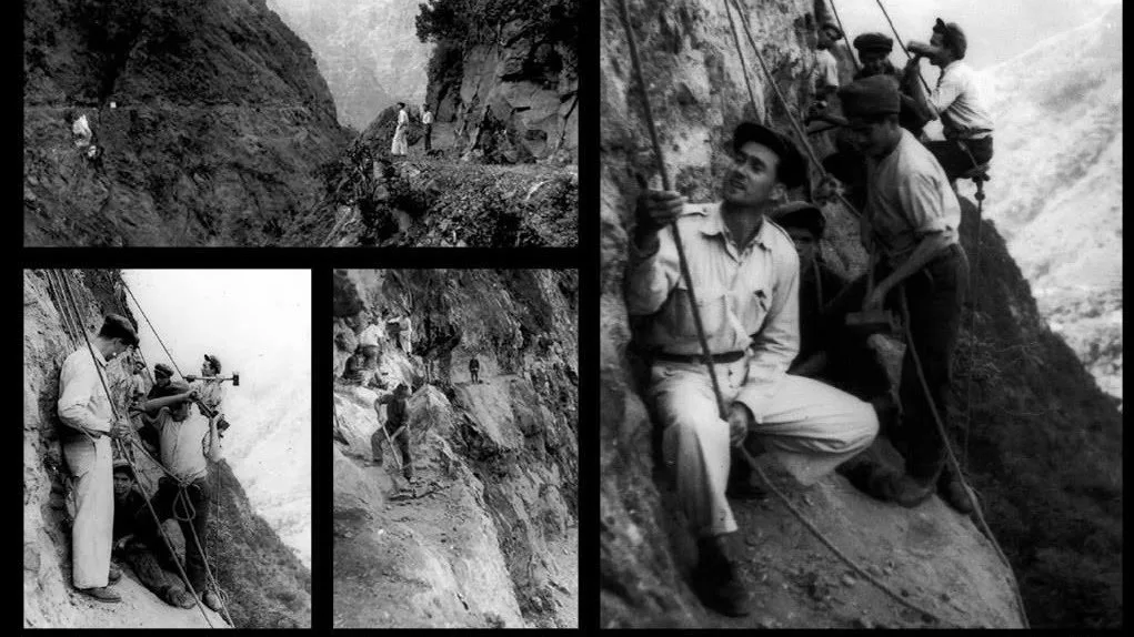
What it does instead is cling. The path is often a ledge a metre wide with the channel on one side and a long drop on the other, and no railing, because it was built for a man with a spade, not for a queue. Add wet basalt, cloud that arrives in twenty minutes at 1000 m, and tunnels with no light in them, and the honest summary is this: the walking is easy, the conditions are not, and the two get confused constantly.
- Trails in our catalog that follow a levada 47 / 111
- Their combined length 311 km
- Shortest to longest 1.2 km / 23.2 km
- How many of those pass through a tunnel 24 / 47
- Tunnels on the catalog, counted individually 75
Counted from our own trail catalog at build time, not copied from anywhere. Distances are the official panel figures where an official panel exists.
See which levada trails are walkable right now, with today's cloud, rain and tunnel conditionsWhere to go from here
If you want the practical side rather than the history: self-guided levada walks · which trails are free · how booking and fees work
Questions people actually ask
Who built the levadas of Madeira?
For four centuries, private owners and associations of heréus, the farmers who share a levada's water and pay for its upkeep. From the 19th century the state began funding them, starting with the Levada Velha do Rabaçal in 1835, and from 1947 a state commission built roughly 400 km more in twenty years. The cliff sections were cut by hand, by men working on ropes and ledges.
How long are the levadas in total?
About 3,100 km counting the secondary irrigation channels, or about 800 km counting only the primary public and private waterways. Both figures come from Portugal's UNESCO nomination. Roughly 80 km of it runs through tunnels.
Is it safe to walk a levada?
The walking itself is easy, because the path barely climbs. The exposure is the real risk: many sections are a narrow unfenced ledge above a long drop, the basalt is slippery when wet, and cloud can close in fast. 24 of the 47 levada trails we track pass through a tunnel, so a torch is not optional on those. Treat the conditions, not the distance, as the thing to check.
Do you need a permit to walk a levada?
Not for most of them. A subset of officially classified routes is sold through the government's SIMplifica portal and needs a paid slot booked in advance; the rest cost nothing and need no booking. Which is which is a fact about who manages the trail, not about how good it is.
What should you take on a levada walk?
Grip on your shoes, a rain layer whatever the forecast said at sea level, and a torch if the route has a tunnel. Water is easy to underestimate on a flat path in the sun. A levada is not a mountain, but the weather on it is mountain weather.
What is the difference between a levada and a vereda?
A levada is the water channel, and the walk follows its maintenance path, so it stays near-level. A vereda is a footpath in its own right, usually older, and it goes where the terrain lets it, which normally means up. If a route's name starts with Vereda, expect to climb.
Historical figures on this page come from Portugal's own UNESCO nomination, not from other travel pages: Levadas of Madeira Island, UNESCO World Heritage Tentative List, ref. 6230.
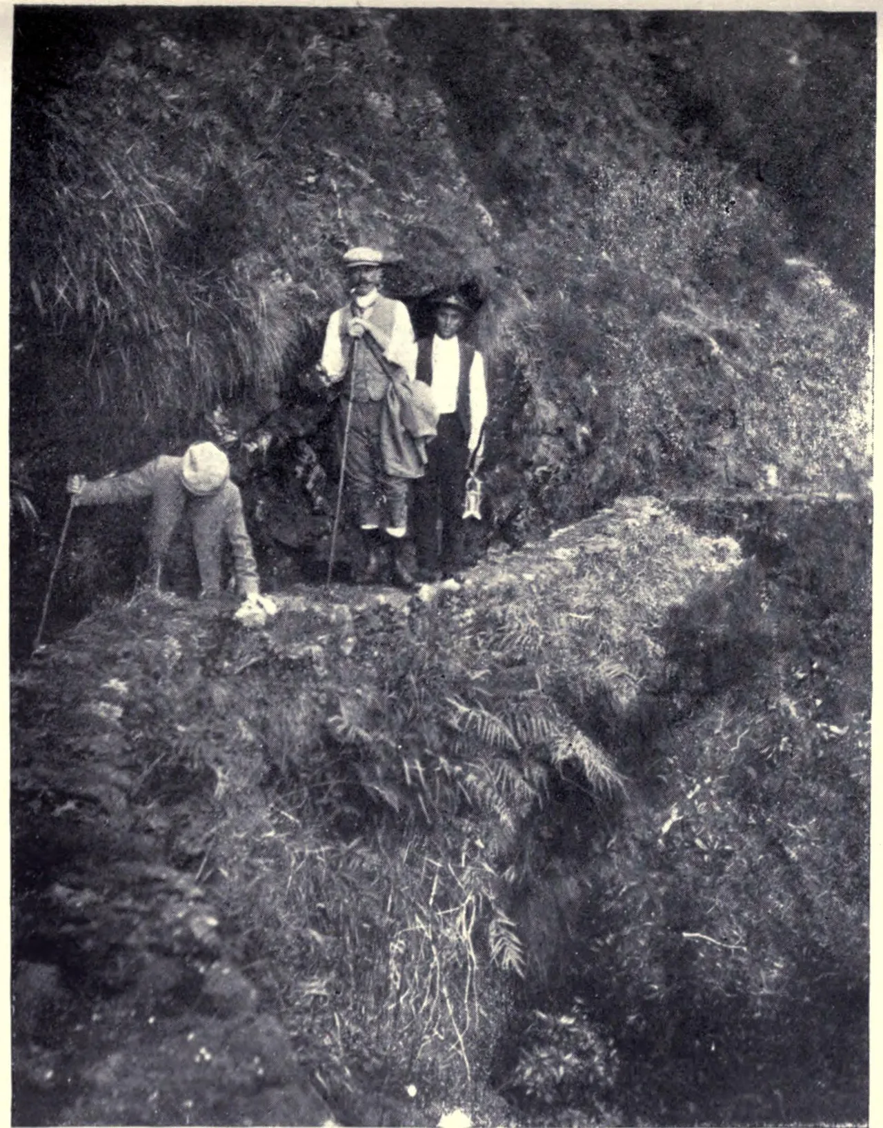
Historical photographs from "Madeira: Old and New" (W. H. Koebel, London 1909), public domain, via Wikimedia Commons. see the plates on Wikimedia Commons
VillageHero, Ulm (CC BY-SA 2.0) · Sergey Ashmarin (CC BY-SA 3.0) · Virgilio Gomes and Rui Carita (CC BY-SA 4.0) · Sarang (CC0) · Sarang (CC0) · unknown; one frame watermarked Foto Perestrellos, Madeira (UNVERIFIED) · unknown; watermarked Foto Perestrellos, Madeira (UNVERIFIED)